Through satellite imaging a new AI driven mapping of biomass and CO2 storage from the University of Copenhagen shows that a huge number of trees are overlooked in Europe’s urban, rural, and agricultural areas. Across Europe, researchers have discovered a billion tons of hidden biomass.
Trees isolate carbon dioxide from the atmosphere, benefit wildlife, and biodiversity and make us humans happy. Perhaps you're lucky enough to have trees in your backyard, outside your window, or in a nearby park. Forests aren’t the only place where foliage enriches the planet. But until now, we have simply not been able to account for all the many trees not in forests, according to new research from the University of Copenhagen’s Department of Geosciences and Natural Resource Management.
Using an advanced algorithm that combines satellite imagery and artificial intelligence, researchers have been able to closely study Europe from above and examine how many trees there actually are beyond our forested areas. These trees are not currently counted in national forest inventories that typically does not include trees outside forests.
The survey shows 15 million hectares of tree coverage outside of forested areas across the continent as a whole. This corresponds to a billion tons of hidden biomass in urban and rural areas that are used for agriculture or other purposes that can now be included in various statistics and models.
"For example, there are a great many trees in holiday home areas and cities that aren’t included when national inventories of forest resources are compiled. Our study shows that there is hidden potential in relation to carbon storage beyond forests that ought to be included in climate models and biomass inventories," says Associate Professor Martin Brandt from the Department of Geosciences and Natural Resource Management.
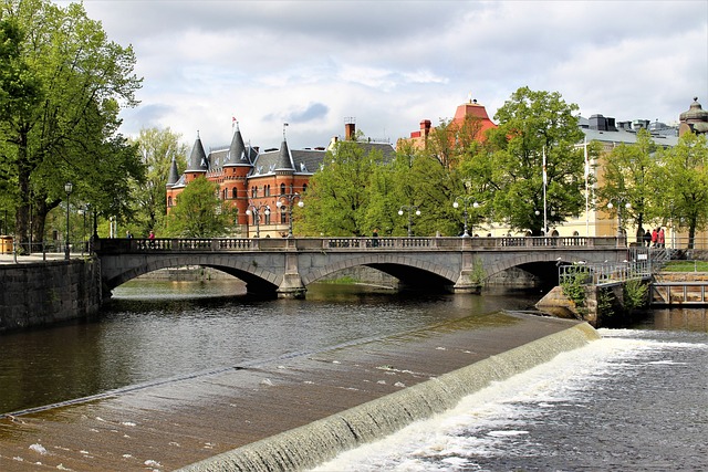
Urban trees of the Netherlands
The Netherlands, UK, Ireland, and Denmark has the highest percentage of tree cover outside forest areas. The Netherlands takes first place with nearly twenty-five percent of the country's tree cover is outside forests, eight percent of which grows in cities.
In the UK, twenty-two per cent of the country's tree cover is outside forests, and for Ireland, the amount is just shy of twenty percent. For forest-rich countries, the proportion of tree cover outside forest areas is significantly smaller. For example, just under two percent of Finland's total tree cover is found outside the forests.
"In European countries with many large forested areas, trees outside forests don't make much of a difference. But in countries like Denmark, the Netherlands, the UK and Ireland, whose forest resources are not enormous, these trees play an important role in biodiversity, microclimate, habitats, landscape values, and hydrological cycles," says Martin Brandt.
Country statistics of tree cover and biomass:
|
Country |
Total tree cover (% of country) |
Tree cover outside forests (% of total) |
Total biomass in Tg |
Tree biomass outside forests in Tg (% of total) |
|
Ireland |
10.5% |
19.7% |
36.65 |
3.24 (8.8%) |
|
United Kingdom |
14.1% |
22.1% |
264.29 |
26.29 (9.9%) |
|
The Netherlands |
14.8% |
24.6% |
47.32 |
5.79 (12.2%) |
|
Denmark |
16.9% |
19.5% |
63.47 |
4.74 (7.5%) |
|
Ukraine |
20.1% |
11.4% |
1534.2 |
53.2 (3.5%) |
|
France |
34.6% |
9.7% |
2388.2 |
77.2 (3.2%) |
|
Germany |
36.1% |
10.0% |
2264.3 |
65.4 (2.9%) |
|
Italy |
38.6% |
7.5% |
1501.3 |
37.6 (2.5%) |
|
Estonia |
50.3% |
3.0% |
259.3 |
2.7 (1.0%) |
|
Finland |
67.8% |
1.7% |
1726.2 |
9.76 (0.6%) |
AI counts trees with 92.4 percent accuracy
Using data from national inventories, among other things, that divides countries into urban, forest, and rural areas, the researchers designed a deep learning algorithm that can recognize trees down to three meters high from their tree crowns. The researchers fed the algorithm detailed satellite imagery of Europe as a whole, which was used to calculate the amount of tree cover outside of forested areas in each country.
“The quality of our AI’s results comes very close to that of satellite images, which are very expensive to produce in the scale investigated here. Our mapping of trees outside the forests has a precision of 92.4 percent," says PhD student Siyu Liu, who is first author on the study.
The latest study of Europe's hidden tree cover is one in a long series of studies conducted over the past few years that have shed light on tree cover in the Sahara and other parts of Africa, among other regions, using advanced technology using detailed satellite imagery and artificial intelligence.
Better forest monitoring
According to Martin Brandt, mappings with this level of precision and detail had never been possible. It marks an advance that will make it easier to monitor our forests and biomass in the future.
“Today, we send people out to conduct manual measurements of biomass. But in Denmark alone, there are more than 20,000 pieces of forested land. So, this is a massive task. Our method makes it possible to conduct more frequent and rapid monitoring, at a time where landscapes change rapidly, and the timely and accurate assessment of carbon stocks is most important," he concludes.
The basis for the work was Danish national forest inventory (NFI) data provided by senior scientist Thomas Nord-Larsen, who stresses the importance of field data:
“Without forest inventory data used to calibrate such methods, satellite observations are just digital numbers without meaning. These inventory data are however typically limited to forests, and methods such as presented here allow to scale inventory data to every corner of the country.”